

Detecting building work via satellite
Xerra and Auckland Council have partnered to develop a product that automatically identifies building sites from satellites.
This product helps council staff visit and assess sites early in their construction phase. They can check for and mitigate issues such as sediment and stormwater runoff, changes to land stability and visual impacts on landscapes.
New Zealand has a high volume of residental building activity. It’s hard to know when construction has started, and hard to visit every site early in its development.
Increasing the impact of compliance and regulatory teams
In Auckland thousands of building consents are issued each month and there’s only a limited time to visit and assess each site.
We want to increase the number of visits to active sites, by using satellites to identify areas where earthworks have started. This helps Auckland Council staff reduce the potential negative environmental effects of construction.

Processing satellite data to identify changes over time
We’re using satellite data captured over time. We combine this data as a time series and apply machine learning algorithms to identify when and where construction is taking place across Auckland.
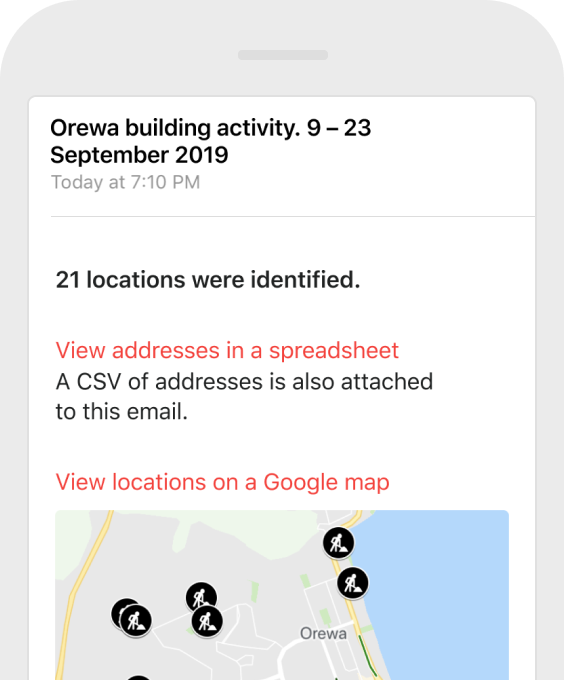
From our processed satellite imagery, we create a map showing which land parcels have construction work.
We’re always improving our process, and currently working on methods to improve how we manage Aotearoa’s frequent cloud cover.
Work with us to meet your environmental compliance goals
Detecting building sites is the beginning of our change detection work. We’re looking at many ways we can monitor and highlight changes in our urban and rural environment.
Our goal is to give organisations like Auckland Council insights which help their teams protect our environment.
Talk to us about using our satellite monitoring system. We’re also here to learn about your wider environmental monitoring goals.